The Team
Our team brings together world-class expertise in remote sensing, earth observation, peatland ecology, botany, geospatial analysis, and artistic landscape visualisation. The team works closely with many external partners across multiple research initiatives including SmartBog, Terrain-AI, MINE, Agri-SOC, CarboSol, BOGLAND, and AUGER projects. This collaborative network includes specialists in SAR remote sensing, peatland research, carbon sequestration, and geospatial science. The interdisciplinary approach uniquely combines cutting-edge earth observation technology with ecological expertise and creative art photography to depict landscape degradation to broad audiences.
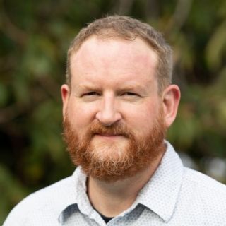
Dr. John Connolly
Assistant Professor, Geography, School of Natural Sciences, Trinity College Dublin (Principal Investigator)
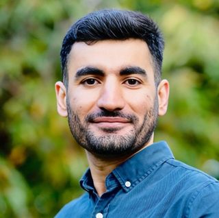
Dr. Wahaj Habib
Postdoctoral Research Fellow, Geography, School of Natural Sciences, Trinity College Dublin
Dr. Marco Girardello
Geography, School of Natural Sciences, Trinity College Dublin
Catriona Leahy
Head of Print Department, National College of Art and Design, Ireland
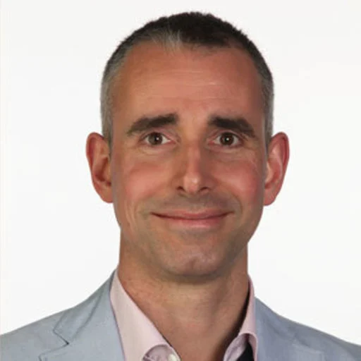
Dr. Matthew Saunders
Associate Professor, Botany, School of Natural Sciences, Trinity College Dublin
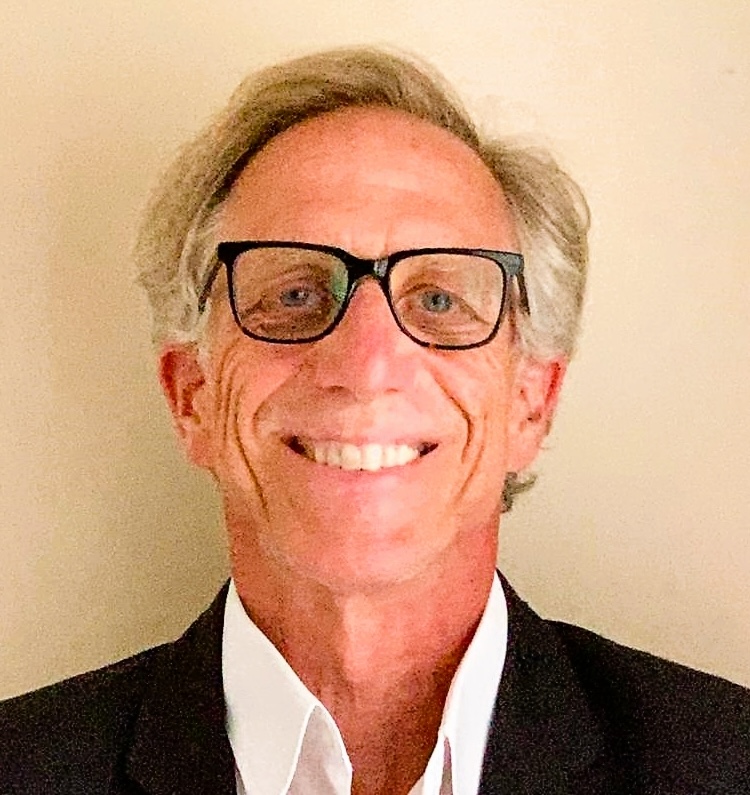
Dr. Andrew Pilant
Fulbright U.S. Scholar (2022), Geography, School of Natural Sciences, Trinity College Dublin